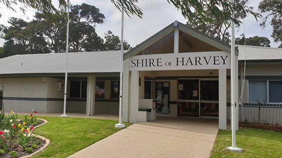
Click here to play a video about Australind. Map - Australind Map Map - Australind Leschenault Kingston Local Aborigines belonged to the Wardani Tribal totemic clans and spoke Noongar language. Early explorers considered them to be timid and settlers found that they were excellent trackers. With the shortage of labour, many early settlers employed the Aborigines on their farms and many proved of great value with explorations. On a voyage of discovery in 1803 were three French ships, "Geographe", Naturaliste" and "Casuarina" with Captain Baudin in charge of the small fleet. On board the "Casuarina", was Lieutenant de Freycinet, who sighted the rocky point, which was part of what is now known as Koombana Bay. On entering the bay he discovered an inlet which he named Leschenault, after the expedition's botanist, Leschenault la Tour. Thus the name Leschenault was added to the map. On board the schooner, "Eagle" in January 1830, John Septimus Roe, Surveyor General of the colony, sailed to Cape Naturaliste and on the return journey he explored the countryside around Port Leschenault. During 1841 John Roe drew a map, in colour, of the Leschenault area. Today much of that area has been developed. 
Lieut. Bunbury carried out a further land exploration to Port Leschenault in 1836. Going overland from Pinjarra his party made their way through luxuriant meadow country. He was impressed with the land near the Estuary and encouraged Governor Stirling to make a townsite at the southern end. This was named after Bunbury and is now the largest city outside the capital of the state. Both of these explorations played an important part with the settlement that was to take place at Leschenault and was to be named Australind. On 12th May 1840 a group was formed in London known as 'The West Australian Company" and it was established to form a colonial settlement under the Wakefield systems. This prescribed that land in colonies should not be granted but sold at a reasonable price and the proceeds used to bring labourers and migrants to the colonies. As it was not subject to resumption by the crown for unimprovement until ten years had passed, the company had until 1850 to establish the settlement. The total land grants comprised of 165,000 acres with the south boundary just north of Leschenault (Bunbury) and northern boundary about three miles north of the town of Harvey. The area extended twenty-three miles east of the estuary into the Darling Range. Four rivers with an abundance of streams passed through the area. It was considered that with the water, climate, soil, anchorage and port that this area was a superior choice. A prospectus was issued and the settlement named "Australind" because it was expected that there would be a prosperous trade between Australia and India, especially with cavalry horses and food from the colony. Marshall Waller Clifton, retired Admiralty official, was appointed leader and given the title of Chief Commissioner, arrived on the "Parkfield" in March 1841. His job was to organise the purchase of land, which was for sale at one pound an acre. A detailed plan of the town was drawn which included a town square, church, a school, stores, a mill, a public hall and many other attractive ideas. It was an ambitious plan for those days. 
After further detailed exploration by Clifton and the surveyors the allotments were ready for the settlers to take over their land. (Shire of Harvey 1895-1995: Proud to be 100 p.68)
Print Friendly
|