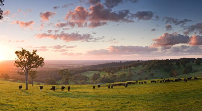
Our community
The Council believes the way we plan and deliver at the District level keeps us in touch with the real issues within our communities and allows us to respond proactively, both in the short and long term.
This is critical to successful governance and an engaged community.
Local Area Planning will help us to plan for the future growth and community services provision across a variety of geographically distinct areas, including:
- Harvey district
- Australind district
- Leschenault district
- Coastal district – Binningup and Myalup
- Rural south – Brunswick district
- Rural north – Yarloop district
Community demographics
The Shire is recognised as one of the fastest growing shires in Western Australia with an increase in population of 35.56% over 10 years or approximately 3.5% per annum.
The Shire of Harvey Estimated Resident Population for 2024 was 31,495, with a population density of 18.16 persons per square km.
It is estimated there were 10,626 households in the Shire in 2021. Female and male residents represent approximately 50% each of the population. The dominant household type is couple families with dependents.
About our communities
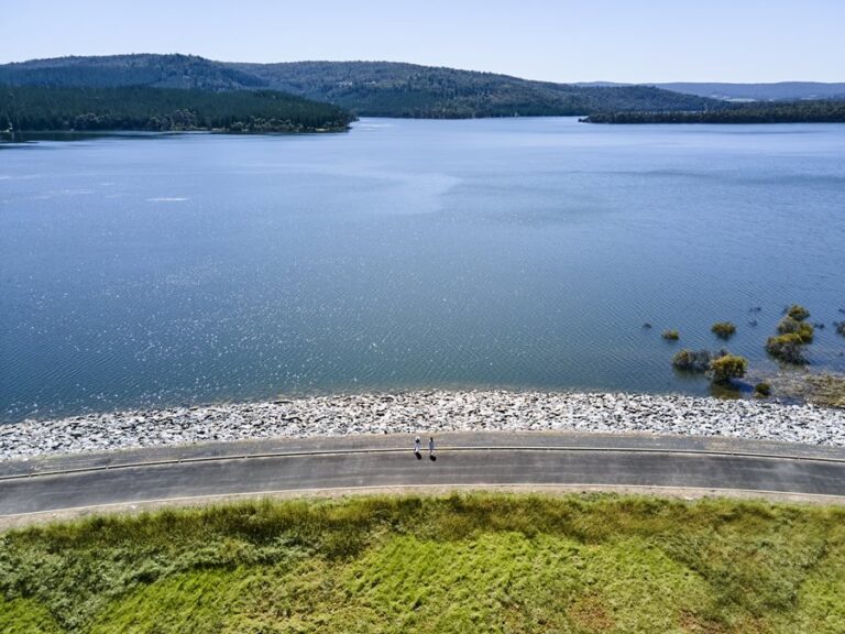
Harvey Dam – Photo: Bianca Turri
Surrounded by fertile, irrigated plains on the banks of the Harvey River, Harvey has a rich Noongar, British and Italian cultural heritage.
Many of Western Australia’s major food brands were born and bred here–from Harvey Beef to Harvey Fresh and Harvey Cheese–and are still operating today.
As you head east, the Region changes from farming land to ruggedly beautiful Jarrah forest and waterways, including Harvey Dam–a playground for outdoor fanatics to explore.
Just south of Harvey, you’ll find the small agricultural town of Wokalup. Home to the Wokalup Tavern (known by locals as “The Woky”) and Brugan Brewery, this is the place to stop for great pub food, handcrafted beer and even better community spirit. Foodies can’t miss visiting the famed Harvey Cheese, just north of Wokalup’s town centre. Let the kids enjoy a milkshake or ice cream, while the adults sample delectable cheese and spirits infused with native botanicals at the on-site gin factory, St Duke’s Distillery.
To find out more about the community profiles of Harvey and Wokalup click here.
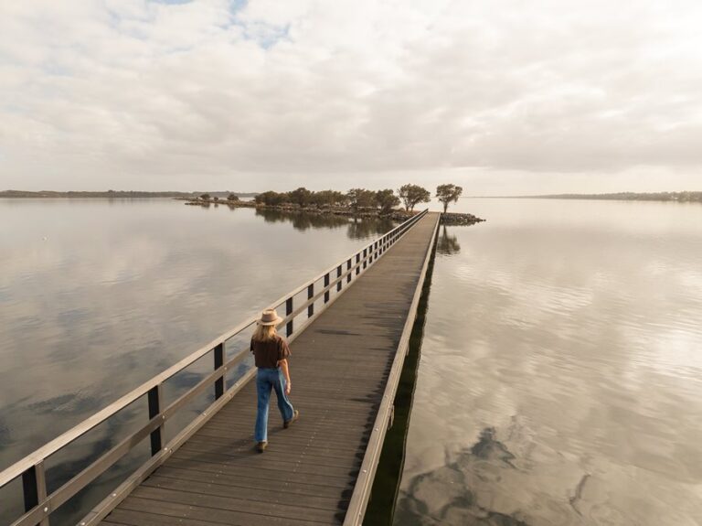
The Australind Jetty – Photo by Sean Scott
Australind and Leschenault include the localities of Treendale and Kingston. The area has 14 km of Estuary at its door, and the Collie and Brunswick Rivers running through it.
The name is a combination of Australia and India, chosen for the belief the land could be used for breeding horses for the British Indian Army.
Prior to European settlement, the area was and remains the home of the Wardandi Noongar (Saltwater) people. The Elaap are Wardandi Noongar people who lived around the Leschenault Inlet and Estuary.
Located immediately north of Australind, on the banks of the Leschenault Estuary (Derpal Elaap), is Leschenault, a haven for water lovers and bird watchers.
Established in 1840 and steeped in history, Leschenault and Australind are one of the earliest Western Australian settlements and farming districts.
To find out more about the community profile for Australind click here and Leschenault click here.
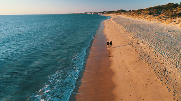
Binningup Beach, Binningup
Binningup, Myalup, and Parkfield are coastal localities offering distinct attractions and experiences:
Binningup is celebrated for its pristine beaches and relaxed atmosphere. Its main beach, protected by a reef running parallel to the shore, is perfect for swimming, snorkeling, and fishing. Visitors can stay at the Binningup Beach Caravan Park and enjoy local amenities such as a general store, café, playground, and skate park.
Myalup, a tranquil coastal town, is known for its white sandy beaches and proximity to Yalgorup National Park. Myalup Beach is a favorite for swimming, fishing, and beachcombing, while nearby Lake Preston offers stunning birdlife and nature walks. Accommodation options include holiday rentals and a caravan park.
Parkfield is a rural community nestled between Binningup and Australind. Known for its open spaces and farmland, Parkfield offers a peaceful lifestyle surrounded by nature. It is home to the historic Parkfield Primary School, which has been a cornerstone of the community since its establishment.
To find out more about the Binningup and Myalup community profiles click here
The Brunswick Hills – Photo: Haydn Jones
Benger, Brunswick Junction, and Roelands each have unique historical and cultural significance.
Benger is a small agricultural locality known for its rich farmland. The name “Benger” is believed to derive from the Pindjarup word for “swamp,” reflecting the area’s natural features. Established in the late 19th century, Benger has a history based in dairy farming, with the White Rocks Museum and Dairy serving as a testament to this heritage. The nearby Benger Swamp Nature Reserve is a significant wetland supporting diverse bird species, including the critically endangered Australasian Bittern.
The name Brunswick Junction originates from the Brunswick River, named by Governor Stirling after the Duke of Brunswick. Established in the late 19th century as a railway junction, it became a pivotal point for transporting coal from Collie. Today, Brunswick Junction hosts the annual Brunswick Agricultural Show, one of the largest regional shows in Australia, attracting thousands of visitors each October. The town features several historic buildings, including the shire hall and churches dating back to the early 1900s.
Roelands is a small township nestled at the foothills of the Darling Range. The town’s name honors John Septimus Roe, Western Australia’s first Surveyor General, who was granted land in the area in 1830. In the mid-20th century, Roelands Farm served as a mission for Aboriginal children, many of whom were part of the Stolen Generations. Today, Roelands is home to Hope Christian College and serves as a gateway to the scenic Collie River Valley.
To find out more about the community profiles of Benger, Brunswick Junction and Roelands click here.
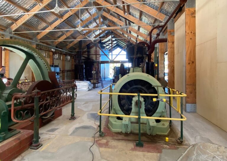
Inside the redeveloped Yarloop Steam Workshop
Cookernup and Yarloop each have unique historical and cultural significance.
The name Cookernup is derived from an Aboriginal term meaning “the place of the swamp hen.” Established in the 1860s, Cookernup developed rapidly in the late 1890s with the escalation of timber milling in the area, leading to the development of a post office, school, railway station, and hall. Today, it offers amenities such as a general store, town hall, and a fire brigade. Nearby Logue Brook Dam provides recreational opportunities, including camping, bushwalking, and water sports.
Yarloop was established in 1894 as a timber milling town. The name is thought to have originated from the local language of the Bindjareb people. The town became known for its steam workshops, which housed machinery used in the early 1900s timber industry. Tragically, on January 7, 2016, a bushfire destroyed most of Yarloop, including 166 houses and public buildings, as well as the historic Yarloop Workshops. Efforts have been made to rebuild and preserve the town’s heritage, including the development of the Yarloop Heritage Trail, which showcases the area’s rich history.
Both towns reflect the rich history of Western Australia’s timber industry and continue to offer glimpses into the region’s past through their heritage sites and community efforts.
For more information about the community profiles of Cookernup and Yarloop click here.
Our plan for the future
The Shire of Harvey Council Plan sets out our vision, values, strategic directions and our key priorities for the next ten years. It is the Shire’s guiding document.
Our vision
Together, towards an even better lifestyle.
Our values
We value:
- Effective stewardship of our environment and heritage;
- A safe community that has a strong community spirit and sense of belonging;
- Effective communication and cooperation;
- Strong leaders and fair decisions; and
- Our heritage – acknowledging our history in creating our future.
We are committed to being an inclusive, enterprising and engaging community that:
- Actively works together and respects each other;
- Acts with honesty, integrity and fairness; and
- Is open minded, approachable, tolerant and responsive.
Strategic directions
- People: A safe, accessible and connected community where everyone has the opportunity to contribute and belong.
- Prosperity: A diversified and thriving economy that offers a wide range of business and work opportunities as well as consumer choice..
- Planet: A natural environment that is highly valued, protected and enjoyed.
- Place: A liveable, sustainable and well-designed built environment that is accessible to all.
- Performance: A representative leadership that is future thinking, transparent and accountable.